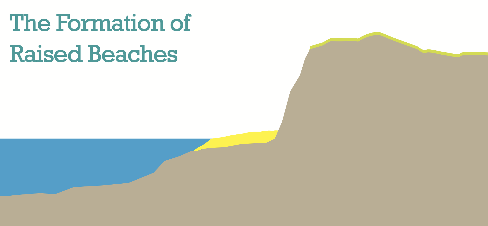
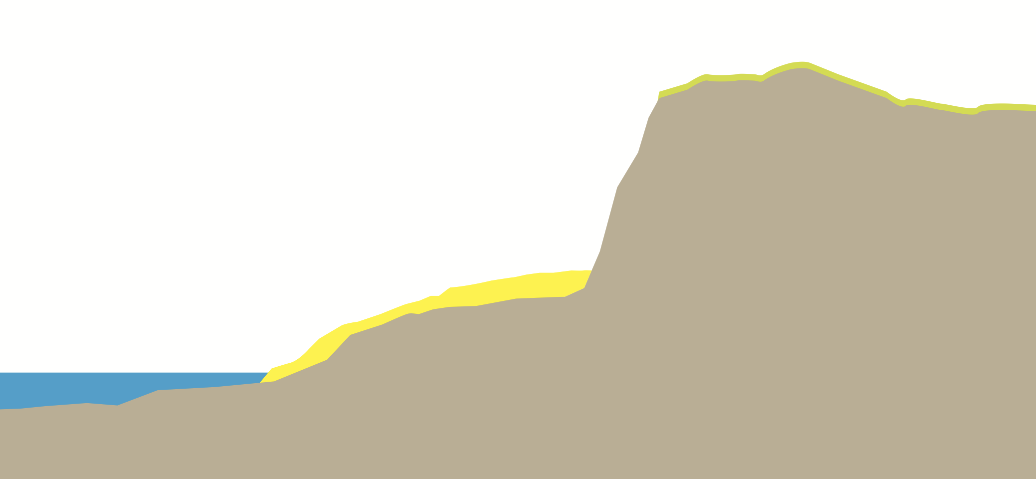
The ice sheets covering the area were up to one kilometre thick, and this huge weight caused the Earth’s crust to warp downwards. When the glaciers melted, the land was able to bounce back so the sea is not lower but the land is higher.
The planet is currently undergoing a post-glacial warming period when global temperatures are set to rise and with it the sea level.
The red sandstone rocks seen in many parts of Carnoustie are the result of a geological event around 500 million years ago, when huge Himalayan-scale mountains were forming in Scotland. Large rivers eroded the mountains and the sediment – sand and pebbles – were built up in layers and these sandstones are the result.
The coastal erosion seen at West Haven harbour is the result of wave-cut platforms. They are formed by the sea attacking the base of a cliff between high and low water marks. The cliff then becomes unstable and collapses which leads to the face moving backwards (inland).
Barry Links has developed on a triangular piece of land at Buddon Ness. There are parabolic dunes there that are rare in the Scottish coastline. The area is a Site of Special Scientific Interest due to its unique geomorphology.
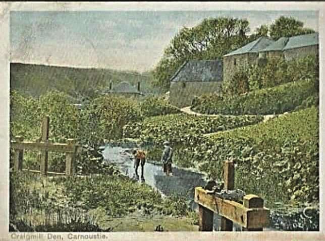
The area between Buddon Ness and West Haven on the other side of Carnoustie was uplifted by about eight metres when the land rebounded once the weight of the ice disappeared at the end of the Ice Age.
Barry Links is formed as part of a complicated story relating to longshore drift from the north and shifting sands at the entrance to the River Tay. This gives the distinctive triangular shape to Buddon Ness.
The Carnoustie Green Circular was funded by Seagreen Wind Energy and created by the Carnoustie Community Development Trust.