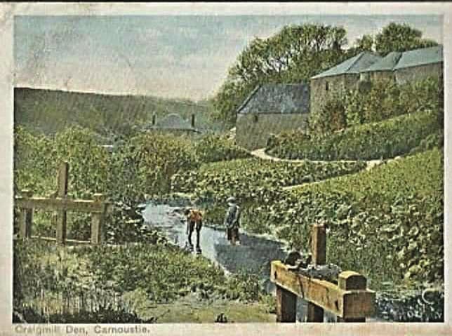
The small mill in the picture would have been a corn mill. The water to power the wheel came from a pond to the north from which water flowed through a lade along the hillside and around the back of the cottage at the entrance to Craigmill Den. The route of this lade can still be seen on the hillside between the cottage and the road bridge across the burn to the north. The water crossed the line of today’s road and fed the mill from above. Improvements to the footpath over the years have altered the location considerably.
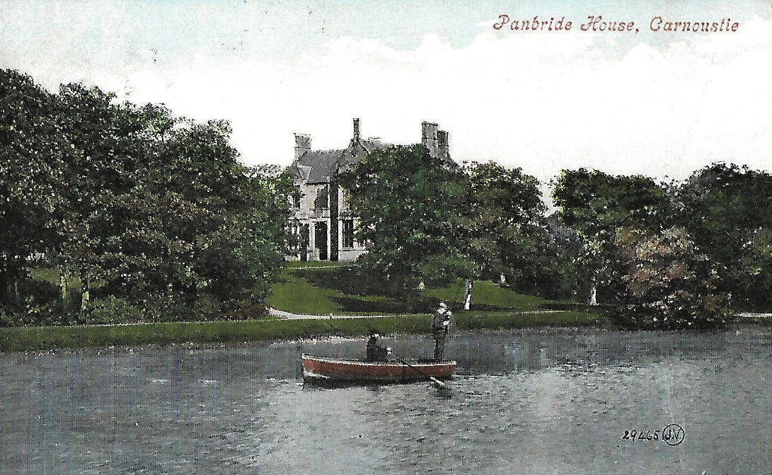
This stretch of water, originating in Monikie, carved out a deep ravine which runs for about four miles from the Panmure Policies to West Haven comprising Coriara Den, Battie’s Den, The Fairy Steps and finally Craigmill Den. It served not only this mill but also the Panbride House ponds and the Panbride Bleachfields further downstream.. The route of this lade is visible along the west side of the footpath through the Den. Locally produced linen was bleached here, and the weir, channels, sluices and lades which fed the pond in the grounds of Panbride House are still visible.
It is believed that during the Roman occupation of this part of Scotland, the sea came up much higher and the mouth of the burn was wider so Craigmill Den became a harbour for Roman ships bringing supplies to the garrisons further inland. The remains of a Roman camp have been found in the fields to the east of the burn.
The Carnoustie Green Circular was funded by Seagreen Wind Energy and created by the Carnoustie Community Development Trust.